Russells Crescent
Introduction
The photograph on this page of Russells Crescent by Ian Capper as part of the Geograph project.
The Geograph project started in 2005 with the aim of publishing, organising and preserving representative images for every square kilometre of Great Britain, Ireland and the Isle of Man.

There are currently over 7.5m images from over 14,400 individuals and you can help contribute to the project by visiting https://www.geograph.org.uk
Russells Crescent
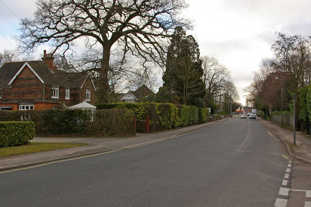
Image: © Ian Capper Taken: 9 Mar 2010
Edwardian housing in a road named after Russells Farm, once situated at the western end of the road. Despite its name, it is not a full crescent. In the distance is its junction with Victoria Road.
Images are licensed for reuse under creativecommons.org/licenses/by-sa/2.0
Image Location
Latitude
51.169538
Longitude
-0.164471