Powerlines near Inch of Ferryton
Introduction
The photograph on this page of Powerlines near Inch of Ferryton by Richard Webb as part of the Geograph project.
The Geograph project started in 2005 with the aim of publishing, organising and preserving representative images for every square kilometre of Great Britain, Ireland and the Isle of Man.

There are currently over 7.5m images from over 14,400 individuals and you can help contribute to the project by visiting https://www.geograph.org.uk
Powerlines near Inch of Ferryton
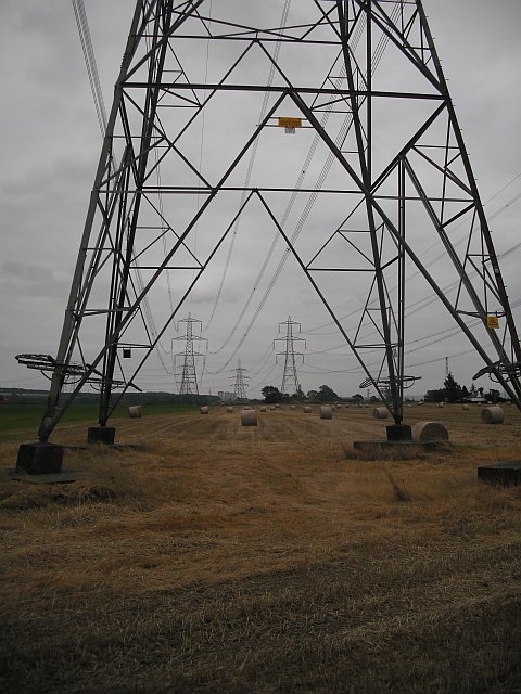
Image: © Richard Webb Taken: 18 Sep 2009
Two powerlines connecting Longannet power station with the substation at Denny.
Images are licensed for reuse under creativecommons.org/licenses/by-sa/2.0
Image Location
Latitude
56.089994
Longitude
-3.751153