Field near Roselath
Introduction
The photograph on this page of Field near Roselath by Derek Harper as part of the Geograph project.
The Geograph project started in 2005 with the aim of publishing, organising and preserving representative images for every square kilometre of Great Britain, Ireland and the Isle of Man.

There are currently over 7.5m images from over 14,400 individuals and you can help contribute to the project by visiting https://www.geograph.org.uk
Field near Roselath
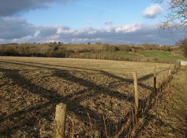
Image: © Derek Harper Taken: 13 Mar 2010
With footpath 406/2/1 running along the right-hand edge, as it crosses a low ridge to a small valley and then into Lanlivery.
Images are licensed for reuse under creativecommons.org/licenses/by-sa/2.0
Image Location
Latitude
50.399762
Longitude
-4.708472