Woodland Pond
Introduction
The photograph on this page of Woodland Pond by Andrew Wood as part of the Geograph project.
The Geograph project started in 2005 with the aim of publishing, organising and preserving representative images for every square kilometre of Great Britain, Ireland and the Isle of Man.

There are currently over 7.5m images from over 14,400 individuals and you can help contribute to the project by visiting https://www.geograph.org.uk
Woodland Pond
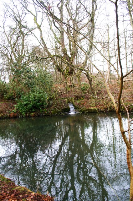
Image: © Andrew Wood Taken: 14 Mar 2010
A woodland pond with a stream running into it in Pitmedden House grounds.
Images are licensed for reuse under creativecommons.org/licenses/by-sa/2.0
Image Location
Latitude
57.34246
Longitude
-2.19038