Raglan Alley
Introduction
The photograph on this page of Raglan Alley by Pauline E as part of the Geograph project.
The Geograph project started in 2005 with the aim of publishing, organising and preserving representative images for every square kilometre of Great Britain, Ireland and the Isle of Man.

There are currently over 7.5m images from over 14,400 individuals and you can help contribute to the project by visiting https://www.geograph.org.uk
Raglan Alley
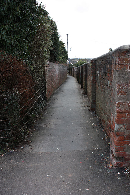
Image: © Pauline E Taken: 14 Mar 2010
Behind the Post Office linking High Street and Caestory Crescent.
Images are licensed for reuse under creativecommons.org/licenses/by-sa/2.0
Image Location
Latitude
51.764226
Longitude
-2.85405