Phillip Street, Risca
Introduction
The photograph on this page of Phillip Street, Risca by Jaggery as part of the Geograph project.
The Geograph project started in 2005 with the aim of publishing, organising and preserving representative images for every square kilometre of Great Britain, Ireland and the Isle of Man.

There are currently over 7.5m images from over 14,400 individuals and you can help contribute to the project by visiting https://www.geograph.org.uk
Phillip Street, Risca
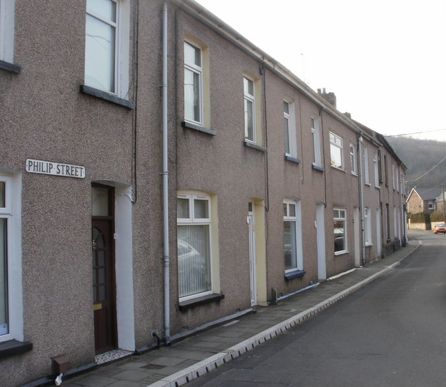
Image: © Jaggery Taken: 11 Mar 2010
Viewed from the corner of Clarence Place. The spelling 'Philip' on the unusually low street sign disagrees with signs nearby, and street maps, which show 'Phillip'.
Images are licensed for reuse under creativecommons.org/licenses/by-sa/2.0
Image Location
Latitude
51.609056
Longitude
-3.101789