Nelson: Regent Street
Introduction
The photograph on this page of Nelson: Regent Street by Dr Neil Clifton as part of the Geograph project.
The Geograph project started in 2005 with the aim of publishing, organising and preserving representative images for every square kilometre of Great Britain, Ireland and the Isle of Man.

There are currently over 7.5m images from over 14,400 individuals and you can help contribute to the project by visiting https://www.geograph.org.uk
Nelson: Regent Street
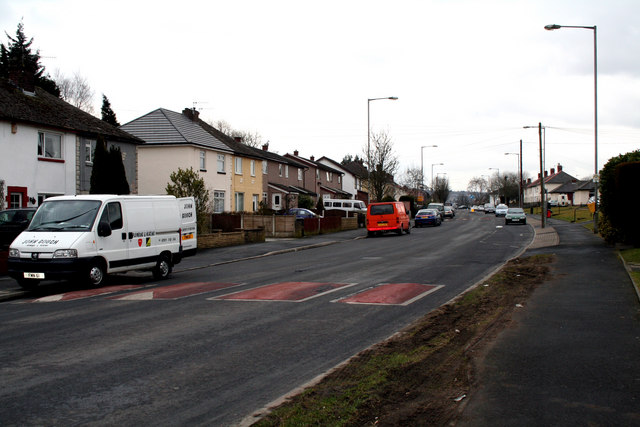
Image: © Dr Neil Clifton Taken: 17 Mar 2010
Looking southwest from the crossroads where Edward Street and Cravendale Avenue join. Regent Street continues, past a crossroads with Reedyford Road (A6068) which gives access to the M65, and then continues into Nelson Town Centre.
Images are licensed for reuse under creativecommons.org/licenses/by-sa/2.0
Image Location
Latitude
53.847156
Longitude
-2.203638