Clayhill Cottages
Introduction
The photograph on this page of Clayhill Cottages by N Chadwick as part of the Geograph project.
The Geograph project started in 2005 with the aim of publishing, organising and preserving representative images for every square kilometre of Great Britain, Ireland and the Isle of Man.

There are currently over 7.5m images from over 14,400 individuals and you can help contribute to the project by visiting https://www.geograph.org.uk
Clayhill Cottages
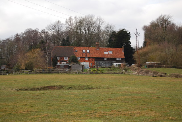
Image: © N Chadwick Taken: 13 Mar 2010
A row of cottages with a good view over the Weald of Kent. Note the small depression in the foreground, possibly an isolated WWII German bomb crater.
Images are licensed for reuse under creativecommons.org/licenses/by-sa/2.0
Image Location


Leaflet Map data © OpenStreetMap
Latitude
51.116839
Longitude
0.36378