The Peddars Way - footpath sign
Introduction
The photograph on this page of The Peddars Way - footpath sign by Evelyn Simak as part of the Geograph project.
The Geograph project started in 2005 with the aim of publishing, organising and preserving representative images for every square kilometre of Great Britain, Ireland and the Isle of Man.

There are currently over 7.5m images from over 14,400 individuals and you can help contribute to the project by visiting https://www.geograph.org.uk
The Peddars Way - footpath sign
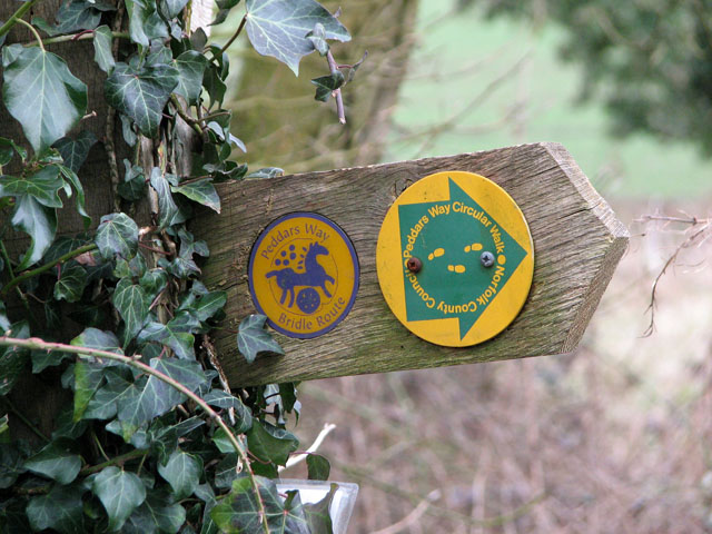
Image: © Evelyn Simak Taken: 17 Mar 2010
For a wider view of this location see > http://www.geograph.org.uk/photo/1759375. The Peddars Way follows the course of an ancient Roman road which was built shortly after the tribal revolt of AD61 led by Boudica, Queen of the Iceni. The route begins in Suffolk, runs northwards through Breckland and then joins with the Norfolk Coast Path, covering 93 miles most which suitable for horse riders and cyclists.
Images are licensed for reuse under creativecommons.org/licenses/by-sa/2.0
Image Location
Latitude
52.474624
Longitude
0.858243