Colne: Western end of Greenfield Road
Introduction
The photograph on this page of Colne: Western end of Greenfield Road by Dr Neil Clifton as part of the Geograph project.
The Geograph project started in 2005 with the aim of publishing, organising and preserving representative images for every square kilometre of Great Britain, Ireland and the Isle of Man.

There are currently over 7.5m images from over 14,400 individuals and you can help contribute to the project by visiting https://www.geograph.org.uk
Colne: Western end of Greenfield Road
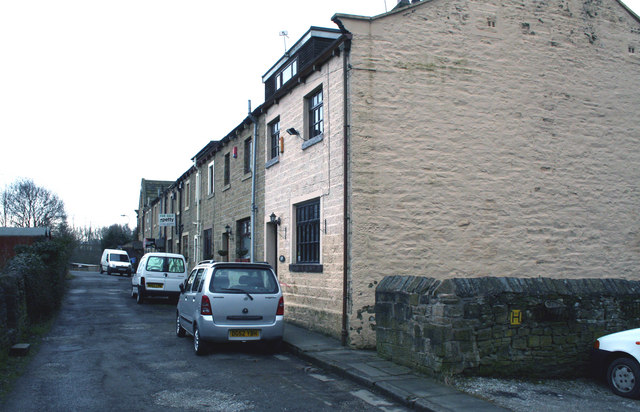
Image: © Dr Neil Clifton Taken: 17 Mar 2010
The nearest of these houses is No 109. For an explanation of the numbering of this block, please see Image
Images are licensed for reuse under creativecommons.org/licenses/by-sa/2.0
Image Location
Latitude
53.853366
Longitude
-2.198499