The Danesford milepost - detail
Introduction
The photograph on this page of The Danesford milepost - detail by Richard Law as part of the Geograph project.
The Geograph project started in 2005 with the aim of publishing, organising and preserving representative images for every square kilometre of Great Britain, Ireland and the Isle of Man.

There are currently over 7.5m images from over 14,400 individuals and you can help contribute to the project by visiting https://www.geograph.org.uk
The Danesford milepost - detail
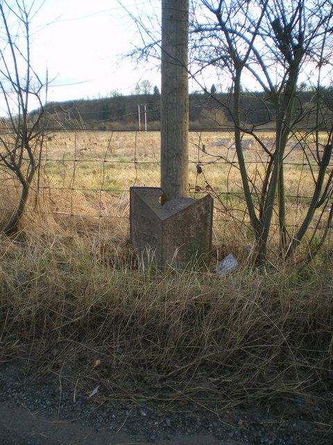
Image: © Richard Law Taken: 14 Mar 2010
Not the best-preserved cast iron milepost I've come across, but at least it's still there, unlike the one marked on some maps in Image, which I couldn't find at all.
Images are licensed for reuse under creativecommons.org/licenses/by-sa/2.0
Image Location
Latitude
52.521614
Longitude
-2.396115