Cottages on Cherry Street
Introduction
The photograph on this page of Cottages on Cherry Street by Kate Jewell as part of the Geograph project.
The Geograph project started in 2005 with the aim of publishing, organising and preserving representative images for every square kilometre of Great Britain, Ireland and the Isle of Man.

There are currently over 7.5m images from over 14,400 individuals and you can help contribute to the project by visiting https://www.geograph.org.uk
Cottages on Cherry Street
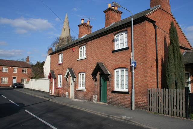
Image: © Kate Jewell Taken: 16 Mar 2010
Cherry Street dates back at least as far as the 1841 tithe map and is assumed to derive from one of the orchard crops grown here - orchards lined the west side until 1920.
Images are licensed for reuse under creativecommons.org/licenses/by-sa/2.0
Image Location
Latitude
52.951742
Longitude
-0.949295