Bovingdon Airfield
Introduction
The photograph on this page of Bovingdon Airfield by Nigel Cox as part of the Geograph project.
The Geograph project started in 2005 with the aim of publishing, organising and preserving representative images for every square kilometre of Great Britain, Ireland and the Isle of Man.

There are currently over 7.5m images from over 14,400 individuals and you can help contribute to the project by visiting https://www.geograph.org.uk
Bovingdon Airfield
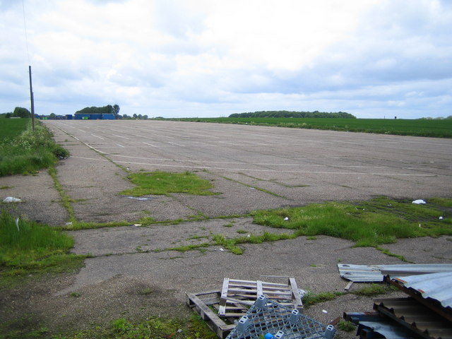
Image: © Nigel Cox Taken: 28 May 2006
The east end of the main east-west runway of the disused World War II airfield. The start of the area occupied by the stalls for Bovingdon Market Image is marked by the blue shacks in the distance.
Images are licensed for reuse under creativecommons.org/licenses/by-sa/2.0
Image Location
Latitude
51.729192
Longitude
-0.5361