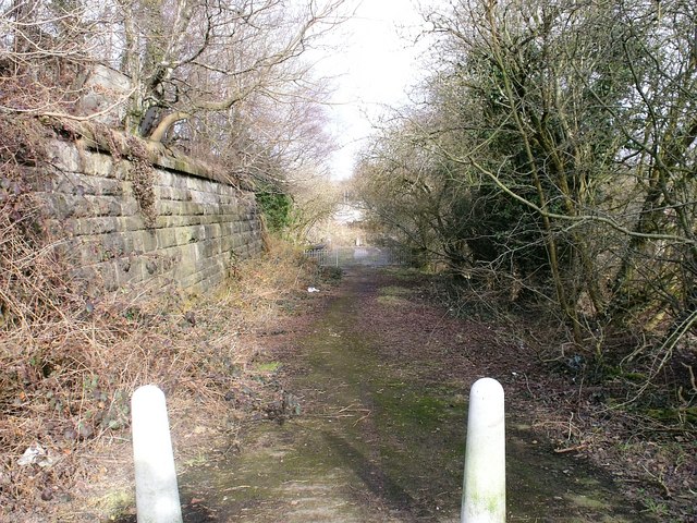
Old Road at Aitkenhead
Introduction
The photograph on this page of Old Road at Aitkenhead by Robert Murray as part of the Geograph project.
The Geograph project started in 2005 with the aim of publishing, organising and preserving representative images for every square kilometre of Great Britain, Ireland and the Isle of Man.
There are currently over 7.5m images from over 14,400 individuals and you can help contribute to the project by visiting https://www.geograph.org.uk

Image: © Robert Murray Taken: 17 Mar 2010
This road was formerly the B757 before this section was closed. The new A752 was aligned along a more direct route. The structure to the left is an embankment of the Bredisholm mineral railway which looped off the NBR Shettleston Bothwell line in the south and connected with the Caldedonian Railway's Rutherglen to Coatbridge branch, servicing the pits in between up till 1934 when the last one closed. See also www.geograph.org.uk/photo/1758599

