The Line to Grimsby Docks
Introduction
The photograph on this page of The Line to Grimsby Docks by David Wright as part of the Geograph project.
The Geograph project started in 2005 with the aim of publishing, organising and preserving representative images for every square kilometre of Great Britain, Ireland and the Isle of Man.

There are currently over 7.5m images from over 14,400 individuals and you can help contribute to the project by visiting https://www.geograph.org.uk
The Line to Grimsby Docks
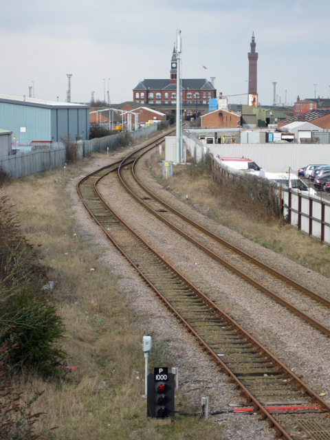
Image: © David Wright Taken: 17 Mar 2010
Photo taken from the footbridge between King Edward Street and Railway Street.
Images are licensed for reuse under creativecommons.org/licenses/by-sa/2.0
Image Location
Latitude
53.572565
Longitude
-0.076603