Farm track and footpath
Introduction
The photograph on this page of Farm track and footpath by Jonathan Billinger as part of the Geograph project.
The Geograph project started in 2005 with the aim of publishing, organising and preserving representative images for every square kilometre of Great Britain, Ireland and the Isle of Man.

There are currently over 7.5m images from over 14,400 individuals and you can help contribute to the project by visiting https://www.geograph.org.uk
Farm track and footpath
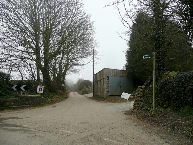
Image: © Jonathan Billinger Taken: 17 Mar 2010
On a less foggy afternoon the walk down to the coast at Mevagissey would be a delight.
Images are licensed for reuse under creativecommons.org/licenses/by-sa/2.0
Image Location
Latitude
50.26828
Longitude
-4.798398