The White harbour, Whitehead
Introduction
The photograph on this page of The White harbour, Whitehead by Albert Bridge as part of the Geograph project.
The Geograph project started in 2005 with the aim of publishing, organising and preserving representative images for every square kilometre of Great Britain, Ireland and the Isle of Man.

There are currently over 7.5m images from over 14,400 individuals and you can help contribute to the project by visiting https://www.geograph.org.uk
The White harbour, Whitehead
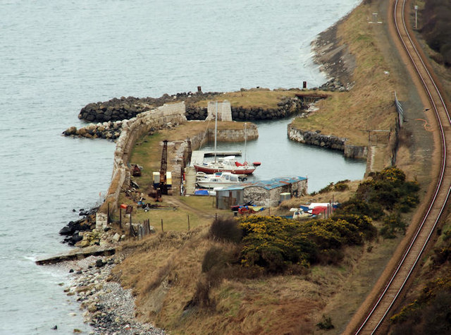
Image: © Albert Bridge Taken: 17 Mar 2010
A small harbour, facing Belfast Lough, to the south west of Whitehead built for the export of locally-quarried limestone Image The Belfast – Larne Harbour railway is on the right.
Images are licensed for reuse under creativecommons.org/licenses/by-sa/2.0
Image Location
Latitude
54.741789
Longitude
-5.719265