Bovingdon: Shothanger Way
Introduction
The photograph on this page of Bovingdon: Shothanger Way by Nigel Cox as part of the Geograph project.
The Geograph project started in 2005 with the aim of publishing, organising and preserving representative images for every square kilometre of Great Britain, Ireland and the Isle of Man.

There are currently over 7.5m images from over 14,400 individuals and you can help contribute to the project by visiting https://www.geograph.org.uk
Bovingdon: Shothanger Way
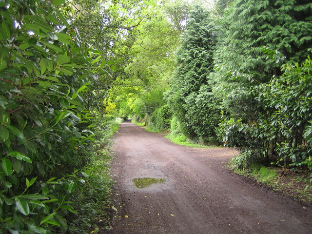
Image: © Nigel Cox Taken: 28 May 2006
Although this is a private road, there is a public right of way along it, and it is viewed from the junction of Bushfield Road and Stoney Lane on the Hertfordshire Way between Bovingdon and Bourne End.
Images are licensed for reuse under creativecommons.org/licenses/by-sa/2.0
Image Location
Latitude
51.728974
Longitude
-0.518731