Dam Side Mill from Broadfleet Bridge
Introduction
The photograph on this page of Dam Side Mill from Broadfleet Bridge by Kate Jewell as part of the Geograph project.
The Geograph project started in 2005 with the aim of publishing, organising and preserving representative images for every square kilometre of Great Britain, Ireland and the Isle of Man.

There are currently over 7.5m images from over 14,400 individuals and you can help contribute to the project by visiting https://www.geograph.org.uk
Dam Side Mill from Broadfleet Bridge
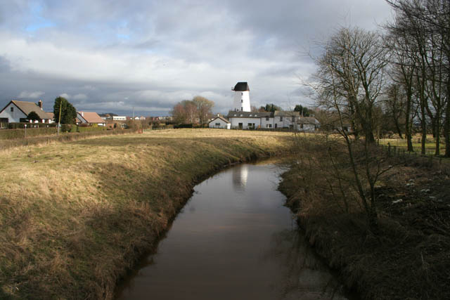
Image: © Kate Jewell Taken: 13 Mar 2010
Looking upstream along Broad Fleet towards Dam Side, a small village between Pilling and Stake Pool. See http://www.pillingwindmill.co.uk/history.htm for information about the mill.
Images are licensed for reuse under creativecommons.org/licenses/by-sa/2.0
Image Location


Leaflet Map data © OpenStreetMap
Latitude
53.931374
Longitude
-2.904341