Delabole High Street
Introduction
The photograph on this page of Delabole High Street by Tony Atkin as part of the Geograph project.
The Geograph project started in 2005 with the aim of publishing, organising and preserving representative images for every square kilometre of Great Britain, Ireland and the Isle of Man.

There are currently over 7.5m images from over 14,400 individuals and you can help contribute to the project by visiting https://www.geograph.org.uk
Delabole High Street
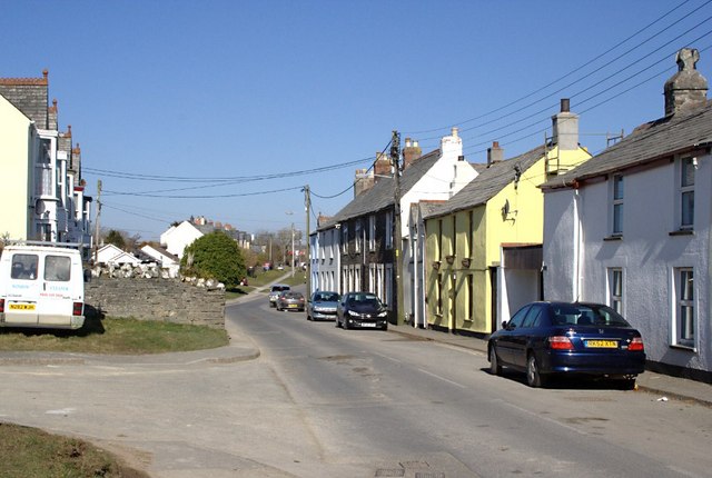
Image: © Tony Atkin Taken: 7 Mar 2010
The smaller terraced houses on the right contrast with the slightly more upmarket bay-windowed terrace on the left.
Images are licensed for reuse under creativecommons.org/licenses/by-sa/2.0
Image Location
Latitude
50.626325
Longitude
-4.728547