Delabole Methodist Church
Introduction
The photograph on this page of Delabole Methodist Church by Tony Atkin as part of the Geograph project.
The Geograph project started in 2005 with the aim of publishing, organising and preserving representative images for every square kilometre of Great Britain, Ireland and the Isle of Man.

There are currently over 7.5m images from over 14,400 individuals and you can help contribute to the project by visiting https://www.geograph.org.uk
Delabole Methodist Church
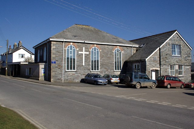
Image: © Tony Atkin Taken: 7 Mar 2010
This is one of at least three nonconformist churches of different denominations which were built at Delabole in the 19th century. The others have since closed as the denominations merged under the banner of the United Methodists.
Images are licensed for reuse under creativecommons.org/licenses/by-sa/2.0
Image Location
Latitude
50.627619
Longitude
-4.727067