The Slaughterford Road, Whitehead
Introduction
The photograph on this page of The Slaughterford Road, Whitehead by Albert Bridge as part of the Geograph project.
The Geograph project started in 2005 with the aim of publishing, organising and preserving representative images for every square kilometre of Great Britain, Ireland and the Isle of Man.

There are currently over 7.5m images from over 14,400 individuals and you can help contribute to the project by visiting https://www.geograph.org.uk
The Slaughterford Road, Whitehead
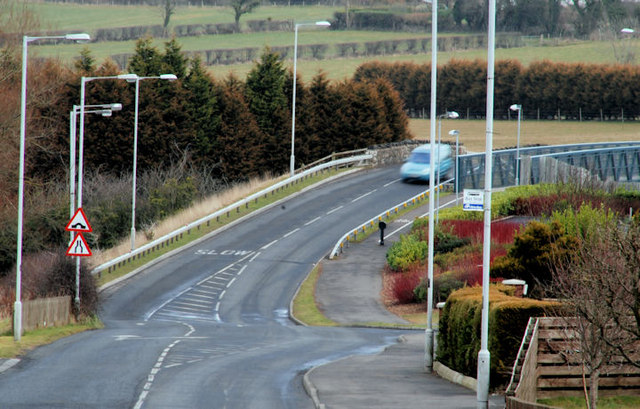
Image: © Albert Bridge Taken: 17 Mar 2010
The Slaughterford Road runs from the Carrickfergus-Larne road to Whitehead. This view is towards Whitehead across the Slaughterford bridges Image The origin of the name lies in circumstances, the story behind which might not be entirely accurate. Consult the Ordnance Survey Memoirs.
Images are licensed for reuse under creativecommons.org/licenses/by-sa/2.0
Image Location
Latitude
54.76054
Longitude
-5.717744