Red House Marsh
Introduction
The photograph on this page of Red House Marsh by Simon Carey as part of the Geograph project.
The Geograph project started in 2005 with the aim of publishing, organising and preserving representative images for every square kilometre of Great Britain, Ireland and the Isle of Man.

There are currently over 7.5m images from over 14,400 individuals and you can help contribute to the project by visiting https://www.geograph.org.uk
Red House Marsh
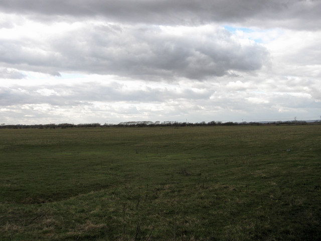
Image: © Simon Carey Taken: 14 Mar 2010
The name of the field according to the 1839 tithe map and part of Pevensey Bridge Level. Named after the now demolished Red House which was located opposite the entrance to Pebble Road.
Images are licensed for reuse under creativecommons.org/licenses/by-sa/2.0
Image Location
Latitude
50.81751
Longitude
0.359989