Tulloford
Introduction
The photograph on this page of Tulloford by Anne Burgess as part of the Geograph project.
The Geograph project started in 2005 with the aim of publishing, organising and preserving representative images for every square kilometre of Great Britain, Ireland and the Isle of Man.

There are currently over 7.5m images from over 14,400 individuals and you can help contribute to the project by visiting https://www.geograph.org.uk
Tulloford
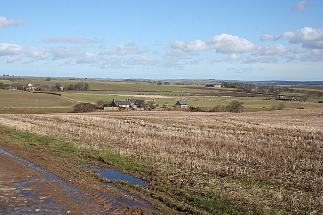
Image: © Anne Burgess Taken: 17 Mar 2010
Looking across the square from Ardmedden. The nearest farm, which is in square, is not named on the maps, and Tulloford, to its left, is in the next square.
Images are licensed for reuse under creativecommons.org/licenses/by-sa/2.0
Image Location
Latitude
57.383311
Longitude
-2.330637