Route to Stirling Road
Introduction
The photograph on this page of Route to Stirling Road by Peter Holmes as part of the Geograph project.
The Geograph project started in 2005 with the aim of publishing, organising and preserving representative images for every square kilometre of Great Britain, Ireland and the Isle of Man.

There are currently over 7.5m images from over 14,400 individuals and you can help contribute to the project by visiting https://www.geograph.org.uk
Route to Stirling Road
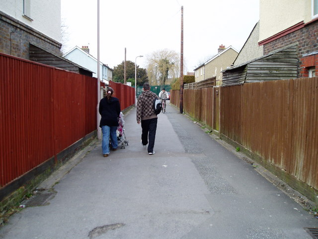
Image: © Peter Holmes Taken: 17 Mar 2010
Public footpath 3082 linking Kingsham Road and Stirling Road.
Images are licensed for reuse under creativecommons.org/licenses/by-sa/2.0
Image Location
Latitude
50.831522
Longitude
-0.774095