Upper Coalmoor Farm
Introduction
The photograph on this page of Upper Coalmoor Farm by Richard Law as part of the Geograph project.
The Geograph project started in 2005 with the aim of publishing, organising and preserving representative images for every square kilometre of Great Britain, Ireland and the Isle of Man.

There are currently over 7.5m images from over 14,400 individuals and you can help contribute to the project by visiting https://www.geograph.org.uk
Upper Coalmoor Farm
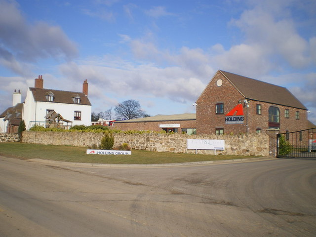
Image: © Richard Law Taken: 14 Mar 2010
Some outbuildings at the farm were renovated a couple of years ago, and now appear to be the offices of a small construction firm.
Images are licensed for reuse under creativecommons.org/licenses/by-sa/2.0
Image Location
Latitude
52.661478
Longitude
-2.496439