Dundonald Congregational Church
Introduction
The photograph on this page of Dundonald Congregational Church by Derek Harper as part of the Geograph project.
The Geograph project started in 2005 with the aim of publishing, organising and preserving representative images for every square kilometre of Great Britain, Ireland and the Isle of Man.

There are currently over 7.5m images from over 14,400 individuals and you can help contribute to the project by visiting https://www.geograph.org.uk
Dundonald Congregational Church
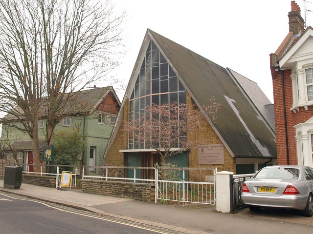
Image: © Derek Harper Taken: 7 Feb 2010
This modern church with its steeply-pitched roof is a little further north along Image
Images are licensed for reuse under creativecommons.org/licenses/by-sa/2.0
Image Location
Latitude
51.416569
Longitude
-0.208005