Toy's Hill Information Panel
Introduction
The photograph on this page of Toy's Hill Information Panel by David Anstiss as part of the Geograph project.
The Geograph project started in 2005 with the aim of publishing, organising and preserving representative images for every square kilometre of Great Britain, Ireland and the Isle of Man.

There are currently over 7.5m images from over 14,400 individuals and you can help contribute to the project by visiting https://www.geograph.org.uk
Toy's Hill Information Panel
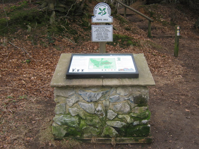
Image: © David Anstiss Taken: 13 Mar 2010
There are two of these panels on the edge of the car park on Toy's Hill road. One on the north end, and this one at the south end. This one is also beside the Greensand Way (long distance path) heading through the National Trust land towards French Street. The panel shows many routes around the ancient common land.
Images are licensed for reuse under creativecommons.org/licenses/by-sa/2.0
Image Location
Latitude
51.245173
Longitude
0.103511