Webber Street east of Blackfriars Road
Introduction
The photograph on this page of Webber Street east of Blackfriars Road by Derek Harper as part of the Geograph project.
The Geograph project started in 2005 with the aim of publishing, organising and preserving representative images for every square kilometre of Great Britain, Ireland and the Isle of Man.

There are currently over 7.5m images from over 14,400 individuals and you can help contribute to the project by visiting https://www.geograph.org.uk
Webber Street east of Blackfriars Road
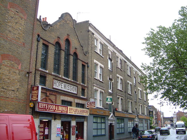
Image: © Derek Harper Taken: 19 May 2006
Looking east from the junction with Lancaster Street, with Jeff's Cafe occupying the ground floor of the Hope Mission building, and The Priory (1893) converted into flats.
Images are licensed for reuse under creativecommons.org/licenses/by-sa/2.0
Image Location
Latitude
51.500897
Longitude
-0.103699