Webber Street
Introduction
The photograph on this page of Webber Street by Derek Harper as part of the Geograph project.
The Geograph project started in 2005 with the aim of publishing, organising and preserving representative images for every square kilometre of Great Britain, Ireland and the Isle of Man.

There are currently over 7.5m images from over 14,400 individuals and you can help contribute to the project by visiting https://www.geograph.org.uk
Webber Street
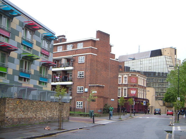
Image: © Derek Harper Taken: 19 May 2006
Looking west from near the junction with Webber Row, with colourfully detailed flats at the corner with Baron's Place, the Stage Door pub, and government offices in the background.
Images are licensed for reuse under creativecommons.org/licenses/by-sa/2.0
Image Location
Latitude
51.500948
Longitude
-0.106866