Turn for Blackgrange
Introduction
The photograph on this page of Turn for Blackgrange by Richard Webb as part of the Geograph project.
The Geograph project started in 2005 with the aim of publishing, organising and preserving representative images for every square kilometre of Great Britain, Ireland and the Isle of Man.

There are currently over 7.5m images from over 14,400 individuals and you can help contribute to the project by visiting https://www.geograph.org.uk
Turn for Blackgrange
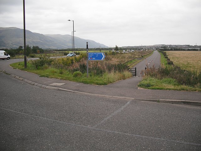
Image: © Richard Webb Taken: 18 Sep 2009
The old alignment of the A907 at the turn for the Blackgrange bonded warehouses. Route 76 of the National Cycle Network runs through the warehouse complex.
Images are licensed for reuse under creativecommons.org/licenses/by-sa/2.0
Image Location
Latitude
56.134977
Longitude
-3.870191