Pye Bank Road, Woodside, Sheffield
Introduction
The photograph on this page of Pye Bank Road, Woodside, Sheffield by Terry Robinson as part of the Geograph project.
The Geograph project started in 2005 with the aim of publishing, organising and preserving representative images for every square kilometre of Great Britain, Ireland and the Isle of Man.

There are currently over 7.5m images from over 14,400 individuals and you can help contribute to the project by visiting https://www.geograph.org.uk
Pye Bank Road, Woodside, Sheffield
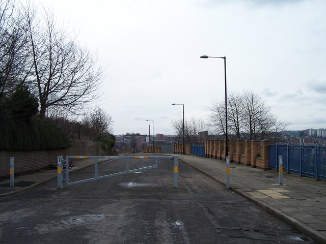
Image: © Terry Robinson Taken: 28 Feb 2010
Pye Bank Road is 'closed off' for safety reasons half way along its length by this barrier. From this point there is no more housing so access isn't required. The brick and railing boundary on the right is from the 1970s Woodside Development ... the remnants of which are shown and described in this picture ... Image
Images are licensed for reuse under creativecommons.org/licenses/by-sa/2.0
Image Location
Latitude
53.392603
Longitude
-1.468847