Round House Veryan Green (2010)
Introduction
The photograph on this page of Round House Veryan Green (2010) by Fred James as part of the Geograph project.
The Geograph project started in 2005 with the aim of publishing, organising and preserving representative images for every square kilometre of Great Britain, Ireland and the Isle of Man.

There are currently over 7.5m images from over 14,400 individuals and you can help contribute to the project by visiting https://www.geograph.org.uk
Round House Veryan Green (2010)
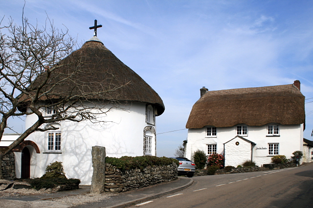
Image: © Fred James Taken: 16 Mar 2010
One of the five round houses in Veryan built early 19th century by Hugh Rowe of Lostwithiel (Pevsner).
Images are licensed for reuse under creativecommons.org/licenses/by-sa/2.0
Image Location
Latitude
50.223843
Longitude
-4.915397