Church Street Marlesford
Introduction
The photograph on this page of Church Street Marlesford by Keith Evans as part of the Geograph project.
The Geograph project started in 2005 with the aim of publishing, organising and preserving representative images for every square kilometre of Great Britain, Ireland and the Isle of Man.

There are currently over 7.5m images from over 14,400 individuals and you can help contribute to the project by visiting https://www.geograph.org.uk
Church Street Marlesford
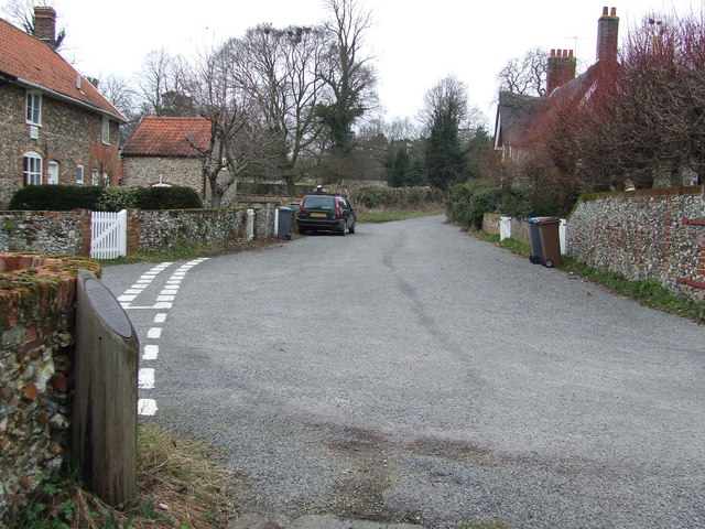
Image: © Keith Evans Taken: 11 Mar 2010
Church street Marlesford, Suffolk. The cut off telephone pole on the left has a plaque mounted onto it commemorating the undergrounding of electricity and telephone cables in 1993 for close up see http://www.geograph.org.uk/photo/1755174
Images are licensed for reuse under creativecommons.org/licenses/by-sa/2.0
Image Location
Latitude
52.173818
Longitude
1.396829