Rushpark flats, Whitehouse
Introduction
The photograph on this page of Rushpark flats, Whitehouse by Albert Bridge as part of the Geograph project.
The Geograph project started in 2005 with the aim of publishing, organising and preserving representative images for every square kilometre of Great Britain, Ireland and the Isle of Man.

There are currently over 7.5m images from over 14,400 individuals and you can help contribute to the project by visiting https://www.geograph.org.uk
Rushpark flats, Whitehouse
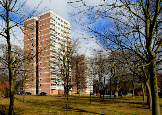
Image: © Albert Bridge Taken: 15 Mar 2010
See Image The multi-storey flats at Rushpark date from 1964 (two years after their cousins at Seymour Hill). Once again the setting adds to their architectural quality.
Images are licensed for reuse under creativecommons.org/licenses/by-sa/2.0
Image Location
Latitude
54.663678
Longitude
-5.906704