Track to Garbet Farm
Introduction
The photograph on this page of Track to Garbet Farm by Texas Radio and The Big Beat as part of the Geograph project.
The Geograph project started in 2005 with the aim of publishing, organising and preserving representative images for every square kilometre of Great Britain, Ireland and the Isle of Man.

There are currently over 7.5m images from over 14,400 individuals and you can help contribute to the project by visiting https://www.geograph.org.uk
Track to Garbet Farm
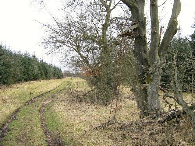
Image: © Texas Radio and The Big Beat Taken: 15 Mar 2010
The track to the ruined Garbet Farm passes one of many "high seats" in the area. See www.geograph.org.uk/photo/1685148 for explanation.
Images are licensed for reuse under creativecommons.org/licenses/by-sa/2.0
Image Location
Latitude
55.954982
Longitude
-3.910996