Barton Brook from Barton Bridge, Raglan
Introduction
The photograph on this page of Barton Brook from Barton Bridge, Raglan by Pauline E as part of the Geograph project.
The Geograph project started in 2005 with the aim of publishing, organising and preserving representative images for every square kilometre of Great Britain, Ireland and the Isle of Man.

There are currently over 7.5m images from over 14,400 individuals and you can help contribute to the project by visiting https://www.geograph.org.uk
Barton Brook from Barton Bridge, Raglan
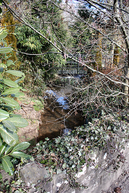
Image: © Pauline E Taken: 14 Mar 2010
An upstream view of the brook which is culverted under the A40. A nearby road is Barton Bridge Close.
Images are licensed for reuse under creativecommons.org/licenses/by-sa/2.0
Image Location
Latitude
51.766638
Longitude
-2.851183