The Old Mill House
Introduction
The photograph on this page of The Old Mill House by Rod Allday as part of the Geograph project.
The Geograph project started in 2005 with the aim of publishing, organising and preserving representative images for every square kilometre of Great Britain, Ireland and the Isle of Man.

There are currently over 7.5m images from over 14,400 individuals and you can help contribute to the project by visiting https://www.geograph.org.uk
The Old Mill House
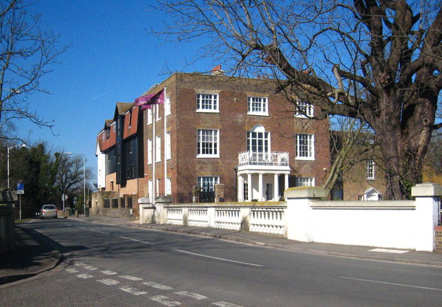
Image: © Rod Allday Taken: 7 Mar 2010
Grade II* listed http://www.imagesofengland.org.uk/Details/Default.aspx?id=202982&mode=adv, this former mill and house has been converted to residential and office use. The River Frays flows under the bridge in the foreground and the mill sits on the River Colne. The Frays joins the Colne just downstream from here, above the Bailey bridge in Cricketfield Road Image
Images are licensed for reuse under creativecommons.org/licenses/by-sa/2.0
Image Location
Latitude
51.500657
Longitude
-0.482634