Beddington: Aldwick Road
Introduction
The photograph on this page of Beddington: Aldwick Road by Dr Neil Clifton as part of the Geograph project.
The Geograph project started in 2005 with the aim of publishing, organising and preserving representative images for every square kilometre of Great Britain, Ireland and the Isle of Man.

There are currently over 7.5m images from over 14,400 individuals and you can help contribute to the project by visiting https://www.geograph.org.uk
Beddington: Aldwick Road
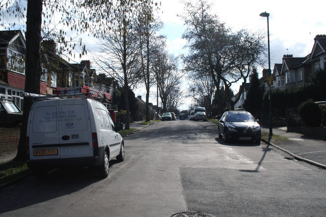
Image: © Dr Neil Clifton Taken: 14 Mar 2010
The Wandle Trail passes the north end of Aldwick Road, from where this photograph was taken. At the other end of this road there is a T-junction with Croydon Road, (A232).
Images are licensed for reuse under creativecommons.org/licenses/by-sa/2.0
Image Location
Latitude
51.369923
Longitude
-0.123482