Croydon: Waddon Ponds
Introduction
The photograph on this page of Croydon: Waddon Ponds by Dr Neil Clifton as part of the Geograph project.
The Geograph project started in 2005 with the aim of publishing, organising and preserving representative images for every square kilometre of Great Britain, Ireland and the Isle of Man.

There are currently over 7.5m images from over 14,400 individuals and you can help contribute to the project by visiting https://www.geograph.org.uk
Croydon: Waddon Ponds
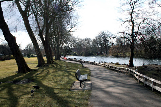
Image: © Dr Neil Clifton Taken: 14 Mar 2010
This is the name given to a very attractive area, where in fact 'Waddon Ponds' is really just one large pond, as the more northerly body of water shown here is connected to the two much smaller water areas at the southern end by narrow necks.
Images are licensed for reuse under creativecommons.org/licenses/by-sa/2.0
Image Location
Latitude
51.37078
Longitude
-0.120861