Holloway Farm, A429 near Wasperton
Introduction
The photograph on this page of Holloway Farm, A429 near Wasperton by David P Howard as part of the Geograph project.
The Geograph project started in 2005 with the aim of publishing, organising and preserving representative images for every square kilometre of Great Britain, Ireland and the Isle of Man.

There are currently over 7.5m images from over 14,400 individuals and you can help contribute to the project by visiting https://www.geograph.org.uk
Holloway Farm, A429 near Wasperton
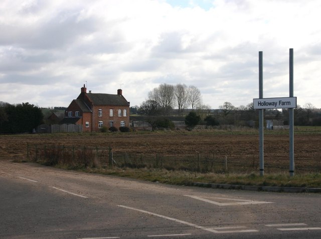
Image: © David P Howard Taken: 14 Mar 2010
View east across the entrance drive towards the farmhouse. The new entrance signs were put up when the Barford bypass was completed. This is about the southern most point of the road redirection.
Images are licensed for reuse under creativecommons.org/licenses/by-sa/2.0
Image Location
Latitude
52.234469
Longitude
-1.603722