Field and footpath by Penn Cemetery, Wolverhampton
Introduction
The photograph on this page of Field and footpath by Penn Cemetery, Wolverhampton by Roger D Kidd as part of the Geograph project.
The Geograph project started in 2005 with the aim of publishing, organising and preserving representative images for every square kilometre of Great Britain, Ireland and the Isle of Man.

There are currently over 7.5m images from over 14,400 individuals and you can help contribute to the project by visiting https://www.geograph.org.uk
Field and footpath by Penn Cemetery, Wolverhampton
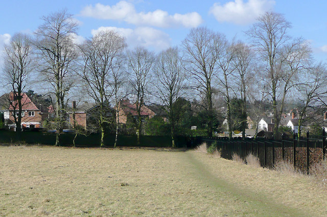
Image: © Roger D Kidd Taken: 9 Mar 2010
It is worth taking a look at the Google satellite image. The landscaping has surely been done with the idea that this field will eventually become part of the cemetery. The public footpath by the cemetery fence goes into Holden Road through kissing gates at the end of the fence.
Images are licensed for reuse under creativecommons.org/licenses/by-sa/2.0
Image Location
Latitude
52.556079
Longitude
-2.1667