Major Arteries over The Broadway
Introduction
The photograph on this page of Major Arteries over The Broadway by Martin Addison as part of the Geograph project.
The Geograph project started in 2005 with the aim of publishing, organising and preserving representative images for every square kilometre of Great Britain, Ireland and the Isle of Man.

There are currently over 7.5m images from over 14,400 individuals and you can help contribute to the project by visiting https://www.geograph.org.uk
Major Arteries over The Broadway
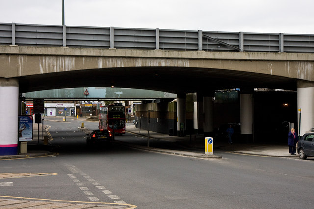
Image: © Martin Addison Taken: 10 Mar 2010
Two bridges carrying major north-south routes are in this view. Nearest is the M1 Motorway, this section of which opened in 1967. Behind are the steel girders of the railway bridge carrying the London to Leicester mainline that opened in 1868 - almost 100 years earlier. The Broadway itself is the A5100.
Images are licensed for reuse under creativecommons.org/licenses/by-sa/2.0
Image Location
Latitude
51.614129
Longitude
-0.249489