East Town, Tolland
Introduction
The photograph on this page of East Town, Tolland by Derek Harper as part of the Geograph project.
The Geograph project started in 2005 with the aim of publishing, organising and preserving representative images for every square kilometre of Great Britain, Ireland and the Isle of Man.

There are currently over 7.5m images from over 14,400 individuals and you can help contribute to the project by visiting https://www.geograph.org.uk
East Town, Tolland
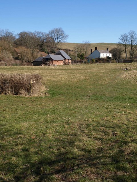
Image: © Derek Harper Taken: 8 Mar 2010
Following the line of footpath T28/2 across a meadow towards East Town Lane, which runs through the hamlet at the east side of Tolland. The white farmhouse is at East Criddles Farm.
Images are licensed for reuse under creativecommons.org/licenses/by-sa/2.0
Image Location
Latitude
51.081245
Longitude
-3.276221