Ifield: The Plough Inn
Introduction
The photograph on this page of Ifield: The Plough Inn by Nigel Cox as part of the Geograph project.
The Geograph project started in 2005 with the aim of publishing, organising and preserving representative images for every square kilometre of Great Britain, Ireland and the Isle of Man.

There are currently over 7.5m images from over 14,400 individuals and you can help contribute to the project by visiting https://www.geograph.org.uk
Ifield: The Plough Inn
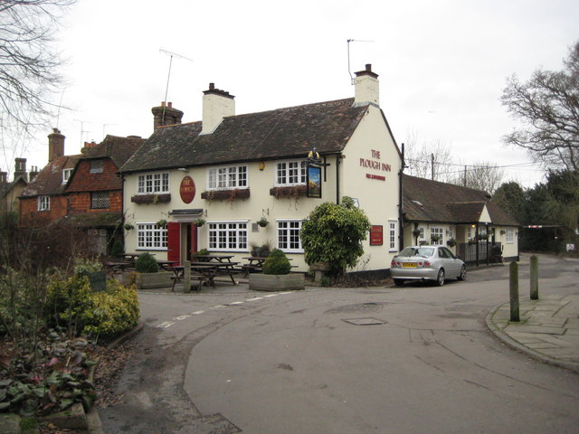
Image: © Nigel Cox Taken: 24 Jan 2010
Amongst the buildings in Ifield's Conservation Area The Plough Inn is a relative newcomer having been built around 1900 or 1910 depending on which internet source one uses. It replaced a former building with the same name which is possibly the residential property on the left. The Plough is a Hall & Woodhouse outlet. The road is Ifield Street, and the turn to the right down Rectory Lane was once one of the two main roads through the village.
Images are licensed for reuse under creativecommons.org/licenses/by-sa/2.0
Image Location
Latitude
51.12428
Longitude
-0.218197