Daws Lane
Introduction
The photograph on this page of Daws Lane by Martin Addison as part of the Geograph project.
The Geograph project started in 2005 with the aim of publishing, organising and preserving representative images for every square kilometre of Great Britain, Ireland and the Isle of Man.

There are currently over 7.5m images from over 14,400 individuals and you can help contribute to the project by visiting https://www.geograph.org.uk
Daws Lane
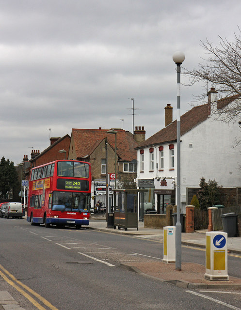
Image: © Martin Addison Taken: 10 Mar 2010
Looking west along the street from outside Barnet's Local Studies and Archive Centre towards the junction with Birkbeck Road. A 240 bus is just moving off from the stop on its way to Golders Green.
Images are licensed for reuse under creativecommons.org/licenses/by-sa/2.0
Image Location
Latitude
51.615688
Longitude
-0.239462