Crab Lane, Higher Blackley
Introduction
The photograph on this page of Crab Lane, Higher Blackley by Bill Boaden as part of the Geograph project.
The Geograph project started in 2005 with the aim of publishing, organising and preserving representative images for every square kilometre of Great Britain, Ireland and the Isle of Man.

There are currently over 7.5m images from over 14,400 individuals and you can help contribute to the project by visiting https://www.geograph.org.uk
Crab Lane, Higher Blackley
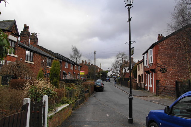
Image: © Bill Boaden Taken: 13 Mar 2010
Most of these houses were threatened with demolition about 30 years ago, but won a reprieve. They are now in a conservation area.
Images are licensed for reuse under creativecommons.org/licenses/by-sa/2.0
Image Location
Latitude
53.531626
Longitude
-2.229425