Penn Road A449, Wolverhampton
Introduction
The photograph on this page of Penn Road A449, Wolverhampton by Roger D Kidd as part of the Geograph project.
The Geograph project started in 2005 with the aim of publishing, organising and preserving representative images for every square kilometre of Great Britain, Ireland and the Isle of Man.

There are currently over 7.5m images from over 14,400 individuals and you can help contribute to the project by visiting https://www.geograph.org.uk
Penn Road A449, Wolverhampton
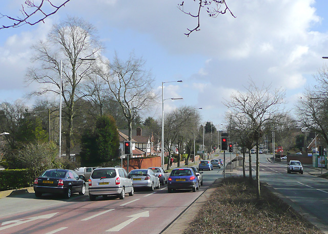
Image: © Roger D Kidd Taken: 9 Mar 2010
This is at the junction with Pinfold Lane, which goes to the left (north) towards Warstones. Wolverhampton city centre is about two miles ahead. The A449 then continues north to Stafford
Images are licensed for reuse under creativecommons.org/licenses/by-sa/2.0
Image Location
Latitude
52.559451
Longitude
-2.159544