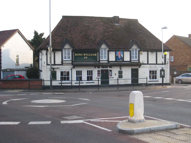
The King William IV public house
Introduction
The photograph on this page of The King William IV public house by Rod Allday as part of the Geograph project.
The Geograph project started in 2005 with the aim of publishing, organising and preserving representative images for every square kilometre of Great Britain, Ireland and the Isle of Man.
There are currently over 7.5m images from over 14,400 individuals and you can help contribute to the project by visiting https://www.geograph.org.uk

Image: © Rod Allday Taken: 5 Mar 2010
A late mediaeval building, formerly a hall house, Grade II listed. Together with all of Sipson village this is due to be demolished if the construction of Heathrow's third runway goes ahead. There is a very strong movement against the runway development and a one acre field behind the pub has been purchased by protesters with a view to selling it off as 4000 individual plots in order to frustrate the compulsory purchase procedure.

