Solihull Lodge
Introduction
The photograph on this page of Solihull Lodge by David Stowell as part of the Geograph project.
The Geograph project started in 2005 with the aim of publishing, organising and preserving representative images for every square kilometre of Great Britain, Ireland and the Isle of Man.

There are currently over 7.5m images from over 14,400 individuals and you can help contribute to the project by visiting https://www.geograph.org.uk
Solihull Lodge
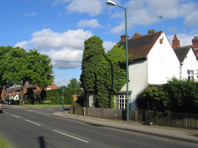
Image: © David Stowell Taken: 26 May 2006
Looking along High Street with Peterbrook Road coming in from the right. The houses on the corner look like they predate the rather more modern housing developments which now cover most of this area.
Images are licensed for reuse under creativecommons.org/licenses/by-sa/2.0
Image Location
Latitude
52.40443
Longitude
-1.863256